
EmergencyPapua New Guinea
Earthquake measuring 6.3 magnitude strikes South-west of Pogera
Image: US Geological Survey
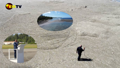
A 6.3 magnitude earthquake struck the remote Highlands of Papua New Guinea on Saturday, 7th of April around 5:48am UTC (1:48pm PNG local time). According to the US Geological Survey, the earthquake occurred at a depth of 10 kilometres, 88km South-west of Pogera, in the Enga Province.
While earthquakes are common in Papua New Guinea, the country is recovering from the recent Magnitude 7.5 earthquake which left massive destruction to the Highlands Region, damaging infrastructure, land, houses, food gardens and taking many unsuspecting lives with it.
The country is still struggling to recover from February’s quake, which also caused landslides that buried homes and roads leaving many without food, water and homeless.