

A magnitude 7.9 earthquake has been detected by the US Geological Survey, 46 kilometres east of Taron in New Ireland Province of Papua New Guinea.
The earthquake struck at a depth of 103.2 kilometres at 10:51:(UTC) around 8:51pm PNG local time ( Saturday 17 December, 2016).
The earthquake was initially recorded as 8.0 magnitude but later downgraded to a 7.9.
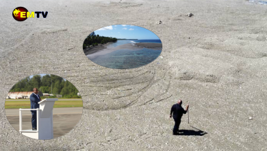
According to Pacific Tsunami Warning Center, based on all available data, hazardous tsunami waves are forecast for some coasts.
Tsunami waves reaching 1 to 3 meters above the tide level are possible along some coasts of Papua New Guinea.


How about earthquake???