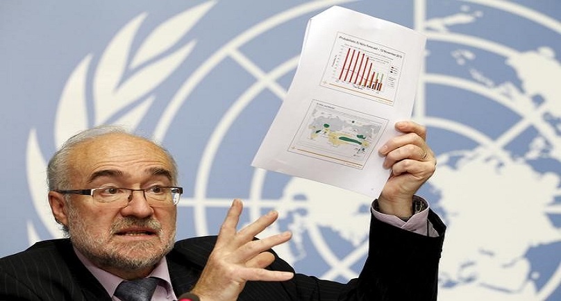
Image:Secretary-General of World Meteorological Organization (WMO) Michel Jarraud addresses a news conference on latest El Nino report, at the United Nations in Geneva, Switzerland, November 16, 2015. REUTERS/Pierre Albouy
![]()
CHICAGO (Reuters) – A key indicator for the strength of El Niño has reached a record high, the U.S. weather agency said, adding to signs that a weather pattern known for causing extreme droughts, storms and floods could become one of the strongest ever.
El Niño, the “little boy,” is driven by warm surface water in the eastern Pacific Ocean and its strength is measured by how much higher temperatures are over three-month averages.
In the week ending Nov. 16, temperatures in the Nino 3.4 region, the central band of affected ocean running either side of the equator from 5S-5N and 170-120W, were 3 degrees Celsius (5.4 degrees Fahrenheit) above average, the National Oceanic and Atmospheric Administration (NOAA) said in its latest update.
It was the highest reading in data that goes back to 1990, Mike Halpert, deputy director of NOAA’s Climate Prediction Center, said in an email. The previous highest reading was 2.8 degrees above average in the week of Nov. 26, 1997.
In the 1997-98 El Niño, heavy rains and flooding led to thousands of deaths, loss of crops and extensive damage to infrastructure in Ecuador, Peru, Bolivia, Somalia and Kenya. In Indonesia, El Nino related drought hit crops and uncontrolled fires impacted the environment.
El Niño conditions normally reach maximum strength between October and January, then persist through much of the first quarter. It can cause droughts, heatwaves and fires in southeast Asia and Australia, while on the eastern edge of the Pacific, it may trigger warmer, wetter weather and flooding.
The World Meteorological Organization (WMO) has already said this year’s El Niño is the biggest in over 15 years and could strengthen. Because of climate change, heatwaves may be hotter and more frequent than usual, and more places may be at risk of flooding, WMO Secretary-General Michel Jarraud said on Monday.
The Nino 3.4 value is the basis for three-month averages used in the Oceanic Nino Index (ONI) — one of the indicators that helps give historical context to the weather disruptions. Another indicator, the Nino 4 value, also touched the largest value recorded at 1.7 degrees Celsius, the NOAA said.
NOAA’s Halpert pointed out, however, that the record was only for the weekly value and that El Niño is eventually ranked by the peak of the ONI. “So we won’t know exactly where this event ranks until sometime next year,” he said.The WMO said three-month averages would peak at over 2 degrees Celsius above normal over the next few months.
(Reporting by Jo Winterbottom; Editing by Alan Crosby)
Copyright 2015 Thomson Reuters. Click for Restrictions.


